GRCTellus Land: Data Processing
- The current surface mass change data are based on the RL06 spherical harmonics from CSR, JPL and GFZ (maximum degree/order: n=60).
- Atmospheric pressure/mass changes removed (based on ECMWF IFS; AOD1B background model correction details here).
- The C20 (degree 2 order 0) and C30 coefficients are replaced with the solutions from Satellite Laser Ranging [Loomis et al., 2019], because the native GRACE(-FO) C20/C30 values have a larger uncertainty than the SLR-values.
- The degree-1 coefficients ( Geocenter) are estimated using the methods from Sun et al., (2016); Swenson, Chambers, and Wahr (2008).
- A glacial isostatic adjustment (GIA) correction has been applied based on the ICE6G-D model from Peltier et al. (2017).
- A destriping filter has been applied to the data to minimize the effect of correlated errors whose telltale signal are N-S stripes in GRACE(-FO) monthly maps.
- A 300 km wide Gaussian filter has also been applied to the data.
- All reported data are anomalies relative to the 2004.0-2009.999 time-mean baseline. Note that this baseline needs to be consistent when comparing GRACE(-FO) data to other anomaly data (e.g., groundwater or sea level). Please check the FAQs regarding questions about the time-mean field.
- Note that the land-grid-scaling (described below) has not yet been applied to the GRACE(-FO) data fields; users must apply these optional gain factors (please refer to the README and references for details and caveats).
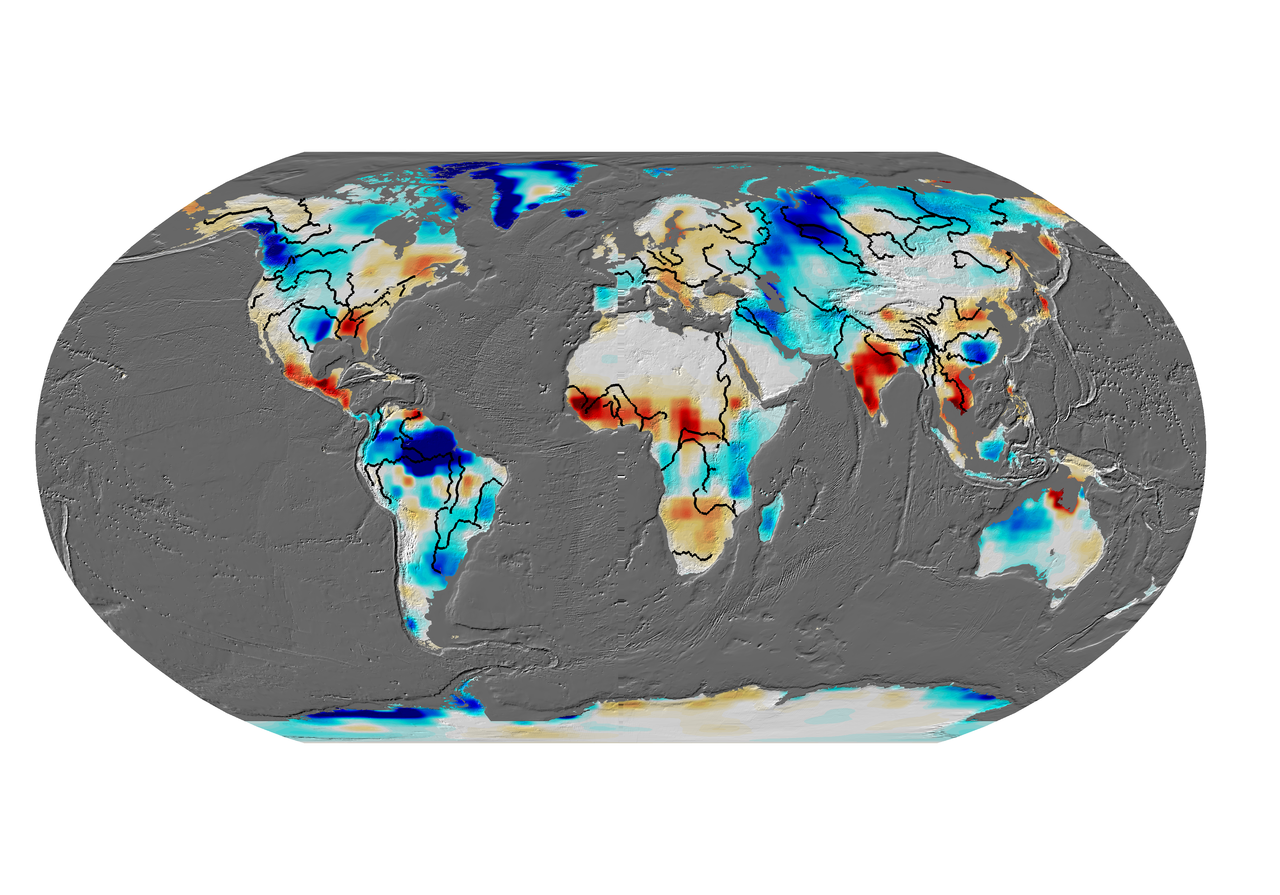
The spatial sampling of all grids is 1 degree in both latitude and longitude (approx. 111 km at the equator). However, this does not mean that two neighboring grid cells are 'independent' because spatial smoothing has been applied. A detailed description of the data processing, gain factor derivation & caveats is available in Landerer and Swenson (2012; AGU-WRR webpage).
GRCTellus Land: Grid Scaling
Due to the sampling and post-processing of GRACE observations, surface mass variations at small spatial scales tend to be attenuated. Therefore, USERS SHOULD MULTIPLY THE GRCTellus LAND DATA BY THE PROVIDED SCALING GRID. The scaling grid is a set of scaling coefficients, one for each 1 degree bin of the land grids, and are intended to restore much of the energy removed by the destriping, gaussian, and degree 60 filters to the land grids. To use these scaling coefficients, the time series at one grid (1 degree bin) location must be multiplied by the scaling factor at the same 1 degree bin position. The netcdf file with gain factors is CLM4.SCALE_FACTOR.DS.G300KM.nc in the netcdf directory , and it must be applied to the GRACE grids in the same directory (an identical grid in ascii format can be found in the ascii directory) .
The scaling coefficients were computed by applying the same filters applied to the GRACE data to a numerical land-hydrology model (NCAR's CLM4). In a nutshell, the gain coefficient is the multiplicative factor that minimizes the difference between the model's smoothed and unfiltered monthly water storage variations at any geographic location. The coefficients are independent of the GRACE data proper, hence they are provided as a separate file. Furthermore, the gain factors tend to be dominated by the annual cycles of water storage variations, and may thus not be suitable to quantify trends from the GRCTellus land data. While the dependence of the gain factors on the specific land model used is generally small, please note that inter-annual trends in particular in hydrology models are very uncertain.
For a detailed description of the data processing, gain factor derivation & caveats, please see the WRR article Accuracy of scaled GRACE terrestrial water storage estimates [Landerer & Swenson, 2012].
GRCTellus Land: Units, Format
The units of the data and error grids are centimeters of equivalent water thickness; gain factors are dimensionless. If each grid node is g(x,y,t) where x is longitude index, y is latitude index, t is time (month) index, and the scaling grid is s(x,y), then the gain-corrected time series is simply
g'(x,y,t) = g(x,y,t) * s(x,y)
These grids have 360 longitude points (0.5,1.5,2.5,...,359.5), and 180 latitude points (-89.5, -88.5, ..., -0.5, +0.5, ...+89.5). However, missing grid points are not included in the ascii files. The data are provided in
- NETCDF, suitable for automatic ingestion into several software packages.
- ASCII, a plain text format (compressed with gzip).
- GEOTIFF, suitable for GIS-processing tools.
- Estimates for measurement and signal leakage errors are also provided (in separate files (ascii) or together with the scaling coefficient file (netcdf)).
GRCTellus Land: Error & Uncertainty Estimates
To compute error estimates for the scaled values, two additional grids are provided (as separate ASCII files or in the same netCDF file as the scaling coefficients).
- The errors given in the CLM4-based ancillary file are in centimeters (same as the GRACE data).
- The measurement errors have already been scaled so no further multiplication is necessary for the error estimate.
- The leakage errors are residual errors after filtering and rescaling, such that the total error in Total Water Storage for a given grid pixel is:
total_err_pix = sqrt(leakage_err_pix^ 2+measurement_err_pix^2). - The errors in nearby pixels are correlated. Therefore, if the total error in a region of adjacent pixels is desired, this covariance needs to be considered. Here is pseudo-code to get the total leakage (lerr) and measurement (merr) errors for a region:
################################
var_merr = 0. ; measurement error
var_lerr = 0. ; leakage error
betam = 300. ; km ~ measurement error de-correlation length
betal = 100. ; km ~ leakage error de-correlation length
for i=0, npix-1 do begin
for j=0, npix-1 do begin
dist = sqrt( ( (lon[i]-lon[j])*cos((lat(i)+lat(j))/2) )^2.+( lat[i]-lat[j] )^2.) ) * (pi/180) * 6371.
% lon, lat in degs; dist in km
expdbm = exp(-(dist^2.)/(2.*betam^2.))
expdbl = exp(-(dist^2.)/(2.*betal^2.))
var_merr = var_merr + merr[i] * merr[j] * expdbm
var_lerr = var_lerr + lerr[i] * lerr[j] * expdbl
endfor
endfor
sigma_merr = sqrt(var_merr)/npix
sigma_lerr = sqrt(var_lerr)/npix
################################
GRCTellus Land: Not Suitable for Cryospheric Studies
The GRCTellus Land grids processed from the Spherical Harmonic Level-2 data (as described on this page here) are not suited to accurately quantify ice mass changes over Greenland or Antarctica, or glaciers and ice caps. These regions require region-specific averaging kernels, as well as proper treatment of signal contamination from nearby land hydrology and adjusted GIA effects. We recommend the paper by Jacob et al. (2012), for a thorough discussion of these aspects.
To assess land ice mass changes, we recommend JPL's mascon solution (please be sure to read the corresponding documentation).
GRCTellus Land: Acknowledgement and Citation
When using any of the GRCTellus data, please acknowledge
GRACE land are available at http://grace.jpl.nasa.gov, supported by the NASA MEaSUREs Program.
and cite
F Landerer. 2021. TELLUS_GRAC_L3_CSR_RL06_LND_v04. Ver. RL06 v04. PO.DAAC, CA, USA. Dataset accessed [YYYY-MM-DD] at https://doi.org/10.5067/TELND-3AC64.
Landerer F.W. and S. C. Swenson, Accuracy of scaled GRACE terrestrial water storage estimates. Water Resources Research, Vol 48, W04531, 11 PP, doi:10.1029/2011WR011453, 2012.
If you encounter any problems with the data, please use the Feedback tool to contact JPL's GRACE(-FO) team.
Additional References:
Loomis et al., 2020, Geophys. Res. Lett., https://doi.org/10.1029/2019GL085488
Sun, Y., R. Riva, and P. Ditmar (2016), Optimizing estimates of annual variations and trends in geocenter motion and J2 from a combination of GRACE data and geophysical models, J. Geophys. Res. Solid Earth, 121, doi:10.1002/2016JB013073.
Wahr, J., M. Molenaar, and F. Bryan, Time-variability of the Earth's gravity field: Hydrological and oceanic effects and their possible detection using GRACE, J. Geophys. Res., 103, 32,20530,229, doi:10.1029/98JB02844, 1998.